Drone mapping and 3D modelling for orthomosaics, photogrammetry, site visuals, construction progress, and aerial reference packages.
About Mapping & Modelling
Aerial mapping and visual modelling converts aerial imagery into reference geospatial products including orthomosaics, photogrammetric 3D models, and elevation visualizations. These products support construction planning, site documentation, and project communication across Canada.
Orthomosaic mapping is the foundation of most drone mapping deliverables. An orthomosaic is a single, geometrically corrected aerial image stitched from hundreds of individual overlapping photos. Engineers and planners can measure distances and areas directly from the orthomosaic for reference and planning purposes.
For orthomosaic generation, we fly structured grid patterns at altitudes determined by the required ground sampling distance. The DJI Air 2S captures 20 MP geo-tagged images with sufficient overlap for reliable photogrammetric processing using software like Pix4D, DroneDeploy, or Agisoft Metashape.
3D visual models extend the value of aerial mapping into three dimensions. Using photogrammetry software, we process overlapping aerial imagery into dense point clouds and textured mesh models. These visual 3D products allow stakeholders to visualize site topography and evaluate conditions without visiting the site physically.
Reference volume estimates can be derived from photogrammetric data for stockpile monitoring and earthwork tracking. These are visual/reference estimates — for survey-grade quantities, we recommend working with a qualified surveyor who can provide surveyed control points.
All mapping deliverables export in standard formats. Orthomosaics export as high-resolution image files. 3D models export as mesh files compatible with common visualization tools. We also provide KMZ files for visualization in Google Earth.
Accuracy depends on mission parameters and ground control. For basic visual mapping, standard GPS positioning from the aircraft provides adequate georeferencing. For higher-accuracy applications, we can work with control points supplied by a qualified project partner.
How It Works
- Step 1: Project scoping and requirements review
- Step 2: Flight planning with overlap and altitude calculations
- Step 3: Structured grid-flight aerial capture
- Step 4: Photogrammetric processing and model generation
- Step 5: Orthomosaic stitching and quality verification
- Step 6: Deliverable export and format conversion
Mapping & Modelling Deliverables
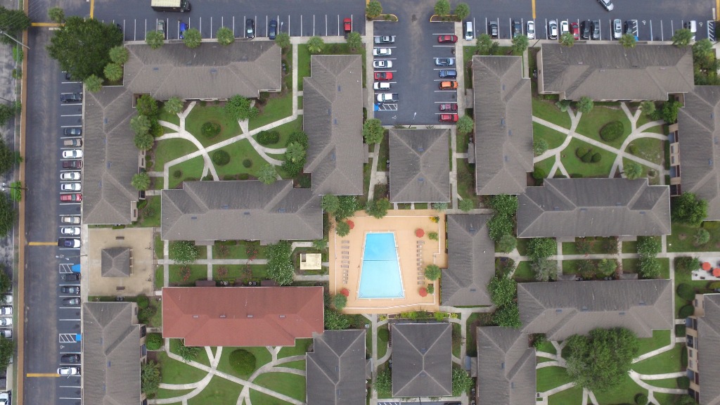
- Structured grid-flight image capture
- 2D orthomosaic-ready photo sets
- Visual modelling inputs for project teams
- Reference exports for planning and design workflows
Business Outcomes
- Reliable visual context for planning reviews
- Improved documentation of changing terrain and assets
- Better collaboration between field and office teams
Specialties
High-Resolution 2D Mapping
Detailed orthomosaic drone maps stitched from structured grid flights. Provides accurate spatial data for planning, layout design, and terrain tracking.
- Precision autonomous grid-pattern flight planning
- 2D orthomosaic map compilation
- Integration with CAD and GIS planning tools
Contact Sky Scouts Drones about Mapping & Modelling